Oceania Maps & Masters
$3.00
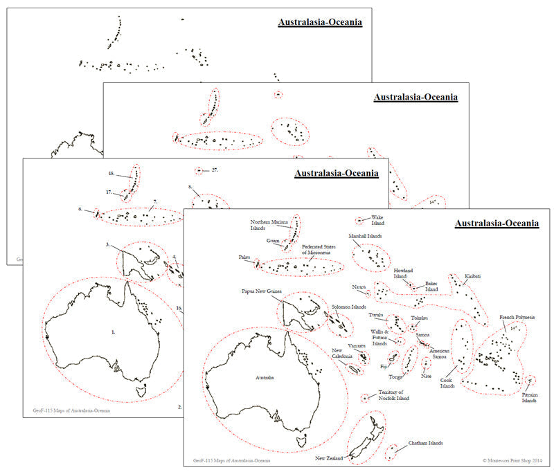
Maps present information about the world in a clear and visual way. They help children understand global geography by showing the sizes and shapes of countries, the locations of various features, and the distances between different places. Moreover, maps can illustrate the distribution of various elements across the Earth, such as population patterns.
Includes the following maps:
- 1 black & white blank map
- 1 black & white blank map, countries circled in red
- 1 black & white map, labeled, countries circled in red
- 1 black & white map, labeled, countries numbered
- 1 list of numbered countries
Maps print on 8½" x 11" paper.
This file is in PDF format.
Related Items
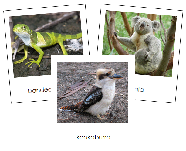

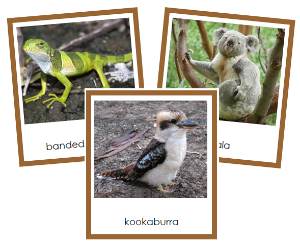
Animals of Australia/Oceania
$3.00
Continent cards enhance understanding of the world, cultivate appreciation for diverse cultures and environments, and support language development along with...

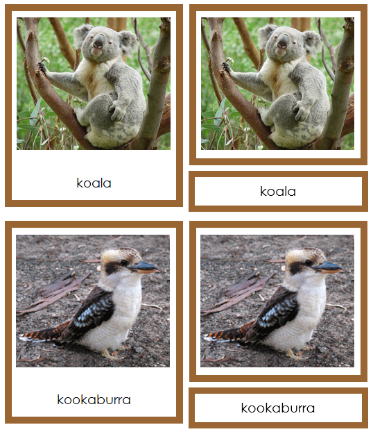
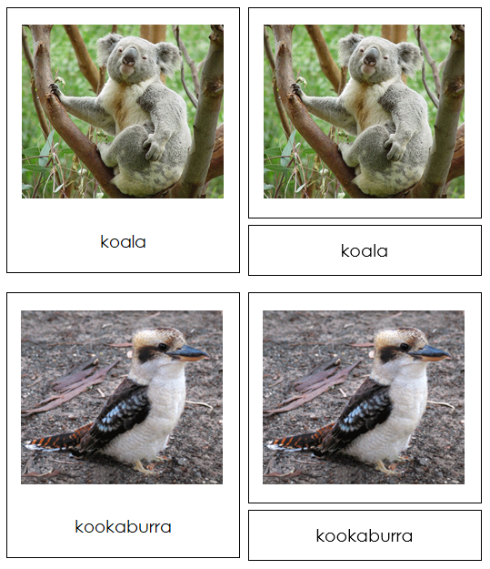
Animals of Australia/Oceania (color coded)
$3.00
Continent cards enhance understanding of the world, cultivate appreciation for diverse cultures and environments, and support language development along with...
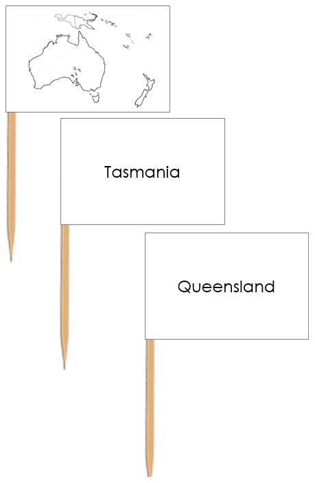


Australia Map Labels - Pin Map Flags
$1.25
Pin flags are used with maps to help children learn about geography, specifically the names of countries, capital cities, and...