
Waterways of North America: Pin Flags
$1.25
Pin flags are used with maps to help children learn about geography, specifically the names of countries, capital cities, and national flags, by engaging them in a hands-on, visual, and self-directed learning experience.
Includes:
- pin flags with major waterways labeled
- basic instructions on how to prepare the pin flags
Related Items

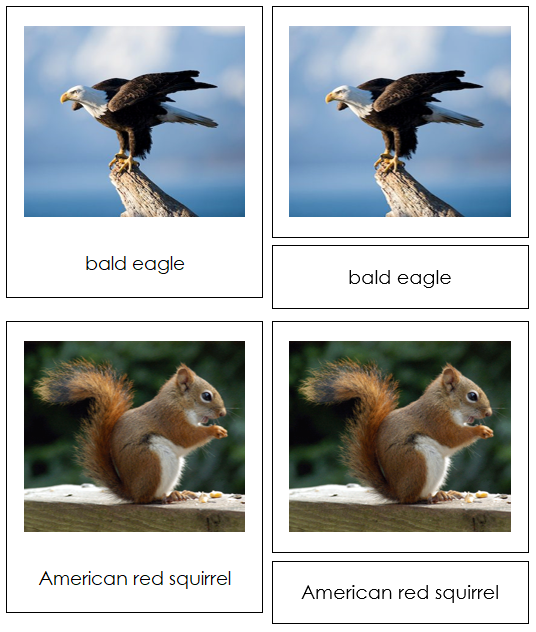
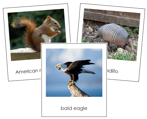
Animals of North America
$3.00
Continent cards enhance understanding of the world, cultivate appreciation for diverse cultures and environments, and support language development along with...
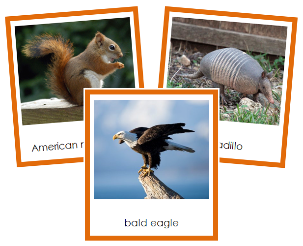
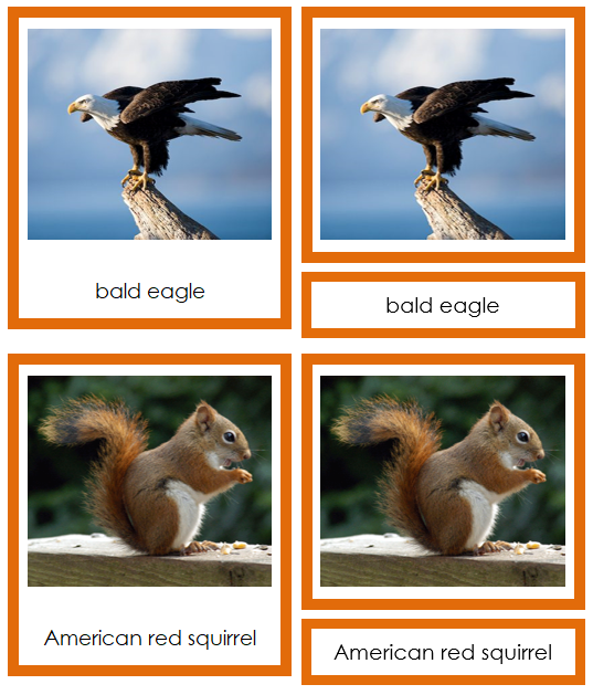

Animals of North America (color coded)
$3.00
Continent cards enhance understanding of the world, cultivate appreciation for diverse cultures and environments, and support language development along with...


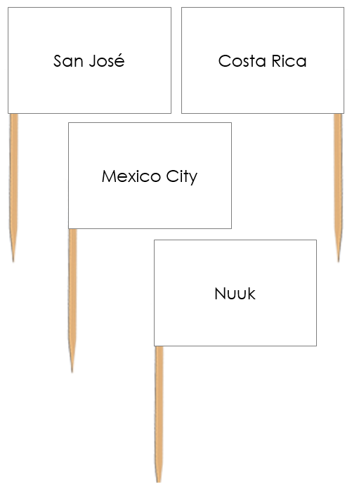
Capital Cities of North America Labels - Pin Map Flags
$1.25
Pin flags are used with maps to help children learn about geography, specifically the names of countries, capital cities, and...