Related Items
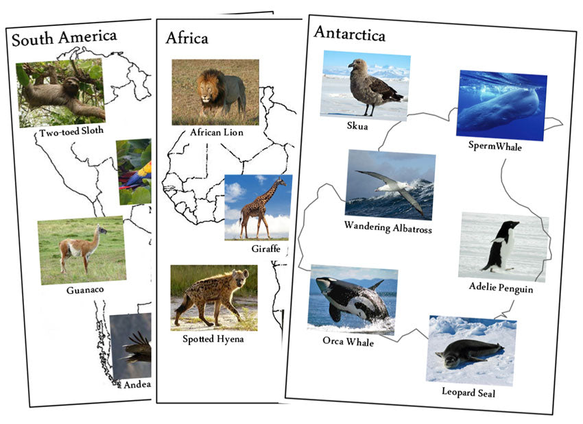
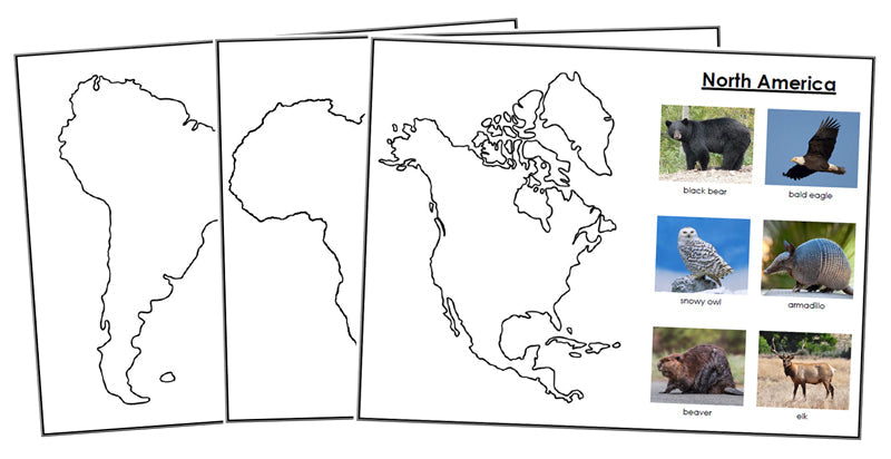
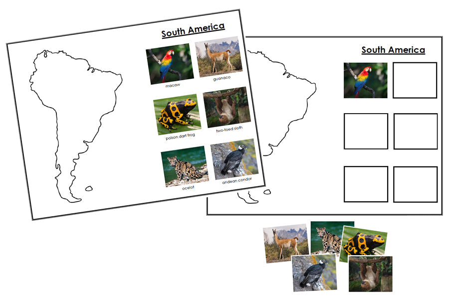
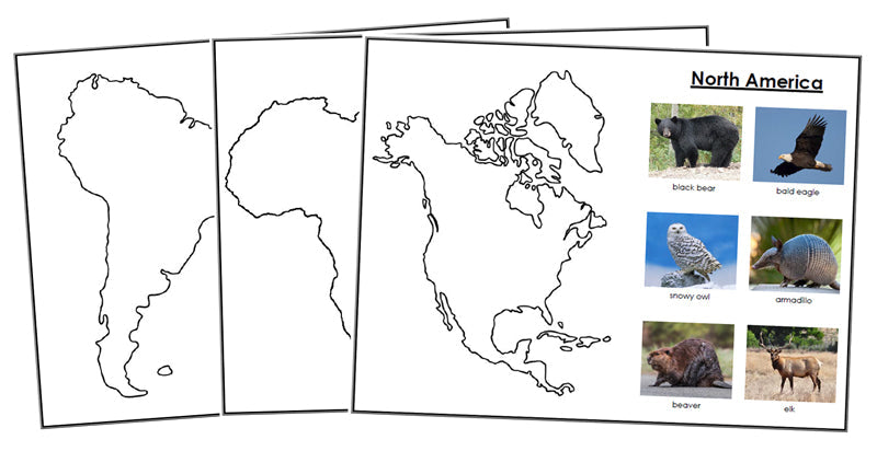
Animals of the 7 Continents - Set 1
$4.00
Learning about animals from different continents helps children understand global biodiversity, shows how species adapt to their environments, and highlights...
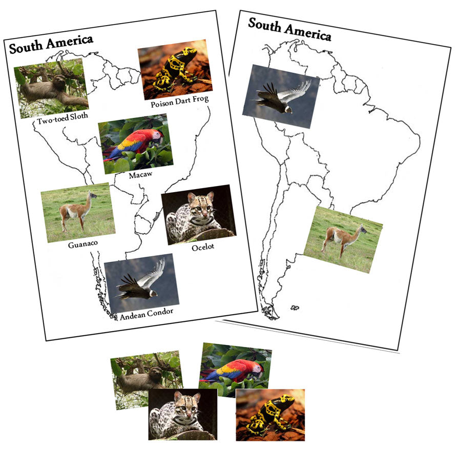
Animals of the 7 Continents - Set 2
$4.00
Learning about animals from different continents helps children understand global biodiversity, shows how species adapt to their environments, and highlights...
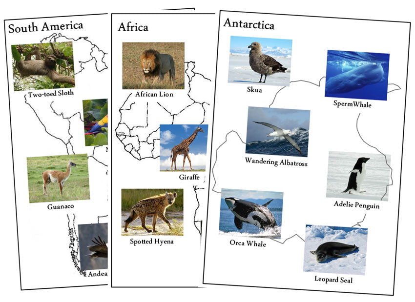
Animals of the 7 Continents - Set 2 (color coded)
$4.00
Learning about animals from different continents helps children understand global biodiversity, shows how species adapt to their environments, and highlights...
