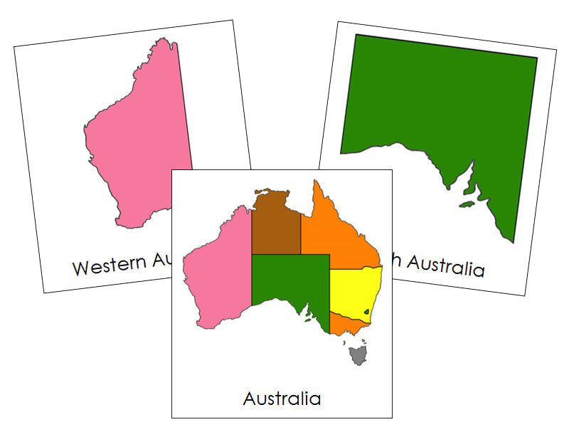
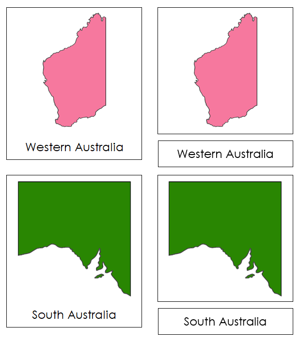
Australia States & Territories (color coded)
$3.00
Teaching the names of the states and territories is important because it helps children understand geography and their place in the world, promoting cognitive development and a sense of global awareness.
Match the correct labels to the pictures. Check the matching using the control cards (cards with labels attached).
Includes:
- 9 cards with labels
- 9 cards without labels
- 9 labels
- title card
Cards with labels are approx. 3½" x 3¼", cards without labels are approx. 1" shorter. Color-coding follows the Montessori map colors.
This file is in PDF format.
Related Items
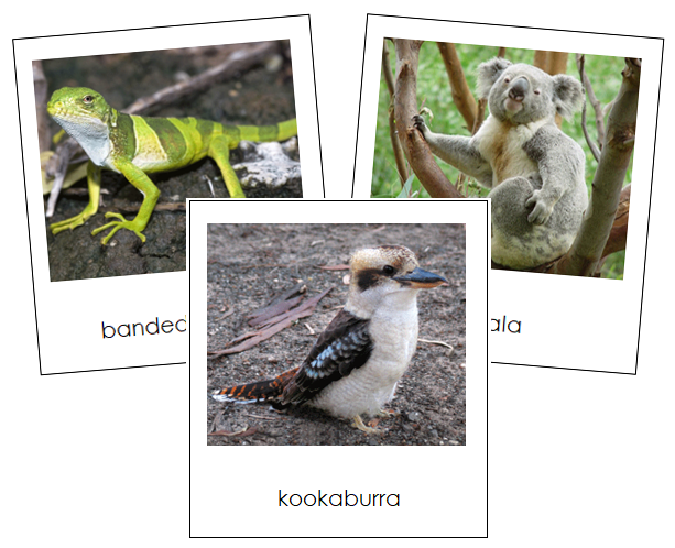
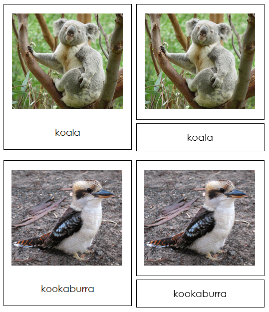

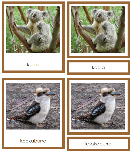
Animals of Australia/Oceania
$3.00
Continent cards enhance understanding of the world, cultivate appreciation for diverse cultures and environments, and support language development along with...

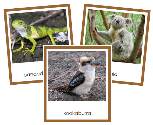
Animals of Australia/Oceania (color coded)
$3.00
Continent cards enhance understanding of the world, cultivate appreciation for diverse cultures and environments, and support language development along with...
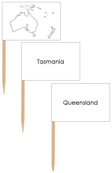


Australia Map Labels - Pin Map Flags
$1.25
Pin flags are used with maps to help children learn about geography, specifically the names of countries, capital cities, and...